Enhanced Map Accuracy Platform

Imagery Platform

Global Street-Level Imagery Platform

Our Imagery Platform is designed to enhance the accuracy and richness of your maps by integrating ground-truth information. This platform allows users to access and contribute to a global repository of street-level imagery and map data.

Our platform provides access to over 3 million street-level images, aiding businesses with up-to-date visual data. Contribute to our marketplace, enhancing global map coverage. Leverage automatic detections for improved map accuracy, benefiting urban planning, navigation, and logistics applications. Join us in transforming location-based services.

3 Easy Steps

How Imagery Platform Works?

Book Your Demo

Choose a convenient time slot for a 30-minute introduction to our Imagery Platform.

Get Set Up

If our platform meets your needs, we’ll get you set up quickly so you can start accessing global street-level imagery.

Elevate Your Maps

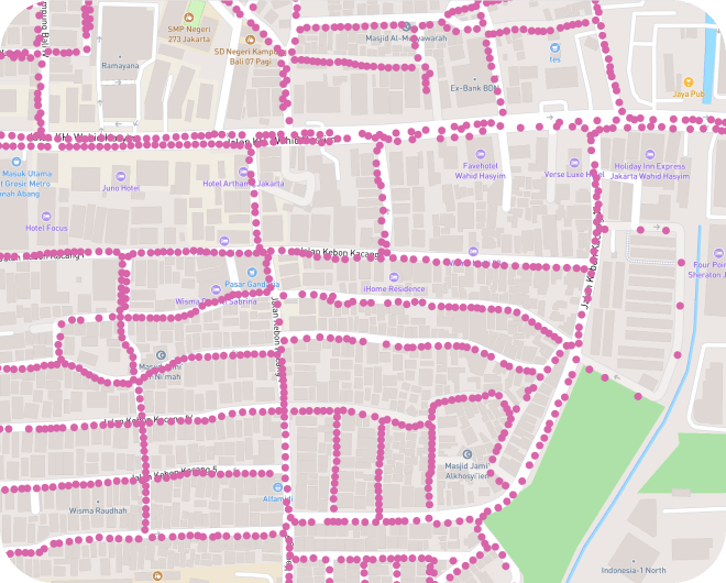
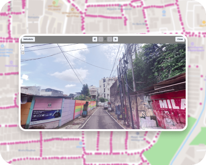
Begin enhancing your maps with our extensive repository of over 3 million images and utilize automatic detections.

Over 3 Million Images

Global Street-Level Imagery Access

With over 3 million images available, our platform offers unparalleled coverage of street-level data from around the world. This imagery is crucial for businesses that require up-to-date visual information to improve their maps and enhance location-based services.

Valuable Data​

Community Contribution and Marketplace

Join our growing community of contributors by using our marketplace to collect and share street-level imagery. By participating, you can help fill in the gaps in global map coverage, making valuable data available to all.

Analyze Photos​

Enhance Maps with Automatic Detections

Use our platform to analyze photos and apply automatic detections, improving the accuracy and detail of your maps. This functionality is particularly useful for applications in urban planning, navigation, and logistics.

Unlock the Power of Mapping: Schedule Your Free Demo Today!